FCGMA
Menu
Home
About
Mission Statement
Board of Directors
Organizational Chart
Area Photographs
John K. Flynn Award
Contact Us
GSP
Events
Allocation
LPV Watermaster
Spanish
FCGMA
Fox Canyon Groundwater Management Agency
Menu
Groundwater Extraction Reporting
Reporting Periods
Flowmeters
Flowmeter FAQ
Fees & Penalties
Payment Options
Irrigation Allowance Index
Irrigation Allowance Index FAQs
Irrigation Allowance Index Case Examples
Account Login
Account User Guide
Fees & Statements FAQ
Public Meetings
Board Agendas, Broadcasts, & Minutes
Brown Act
Meeting Protocols
Public Notices
Committee Meetings
Executive Committee
Operations Committee
Fiscal Committee
Technical Advisory Group
OPV Variance Review Committee
Variance Ad Hoc Subcommittee
Maps & Data
Interactive Map
Water Levels
DWR SGMA Data Viewer
Weather Data
California Irrigation Management Information System
Legislation
Ordinances
Resolutions
Reports
Annual Report Archive
BMO Report Card Archive
Financial Audit Archive
Budget Documents
LAFCo Municipal Service Review
Other Reports
Archived Water Market FAQ
Semi-Annual Newsletter
Forms
Area Photographs
Below are some photographs taken around the Fox Canyon GMA:
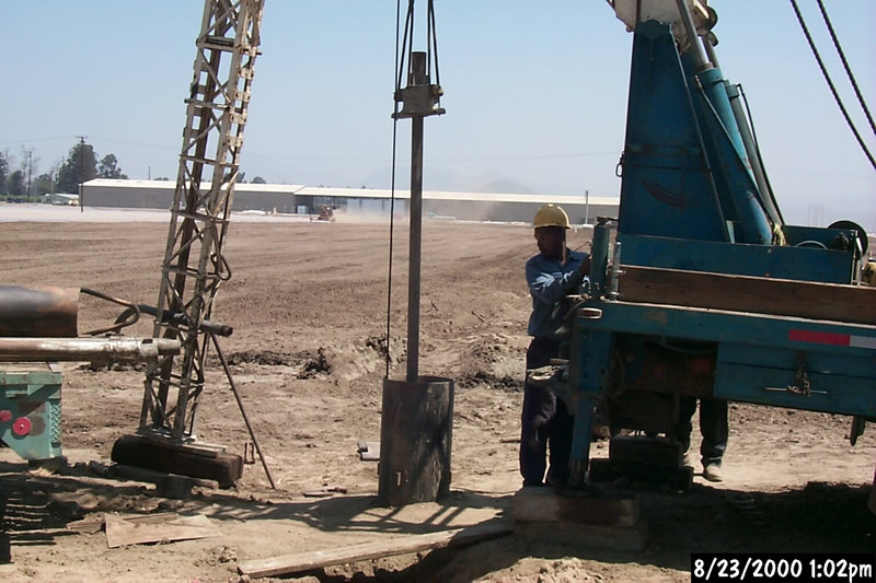
Destroying an abandoned well under the EPA 319(h) Wellhead Protection Demonstration Project.
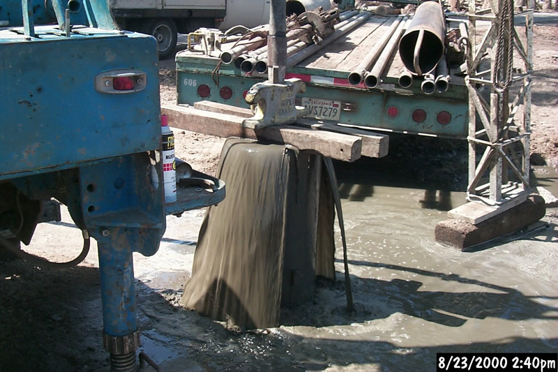
Filling the abandoned well with neat cement as a final seal to prevent groundwater migration between aquifers.
Another old abandoned well gets filled with neat cement prior to removal of well head and top five feet of casing.
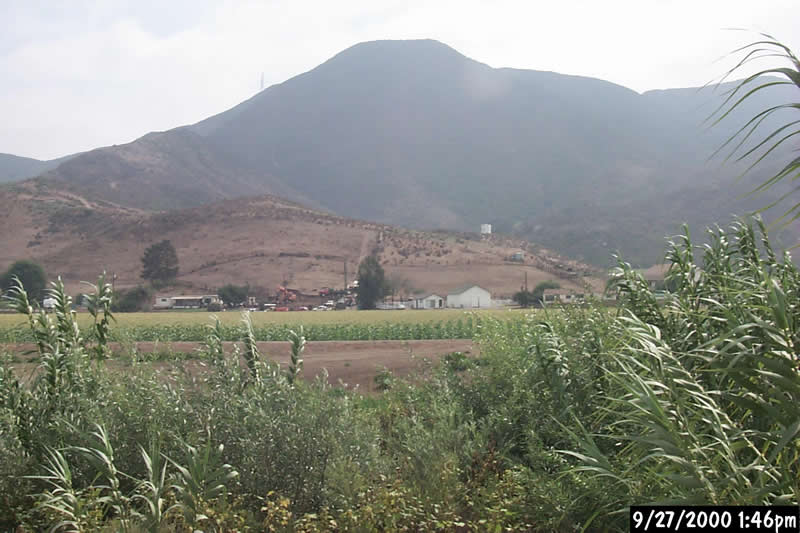
Can you guess where this semi-tropical paradise is located within the FCGMA boundary?
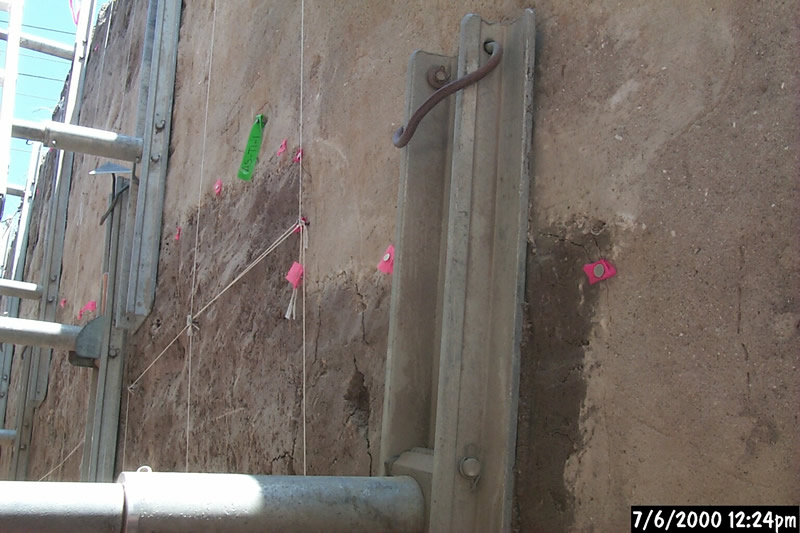
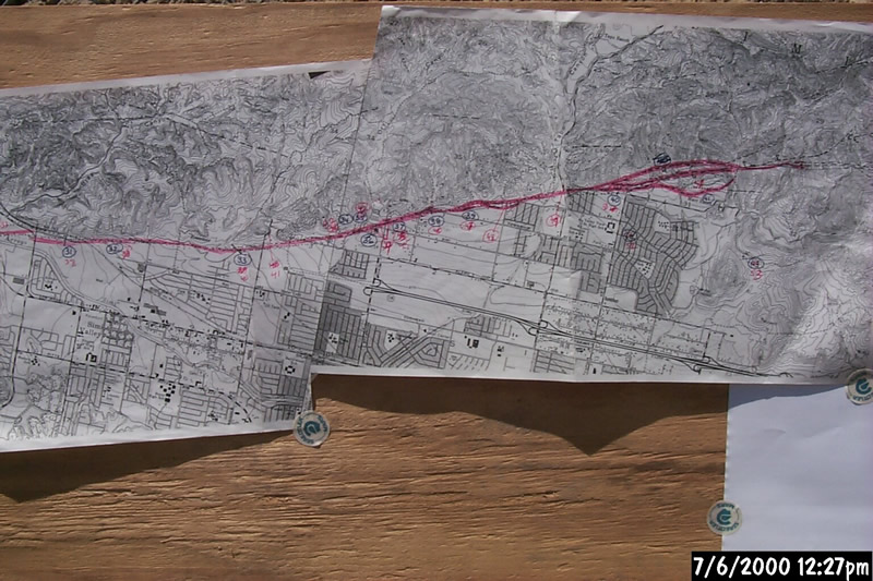
Recent fault trench investigation west of Madera Road and south of the Arroyo Simi behind the old Simi Drive-In Theater.
Map at fault trench study with red line indicating trace of the Simi-Santa Rosa Fault Zone north of Simi Valley.